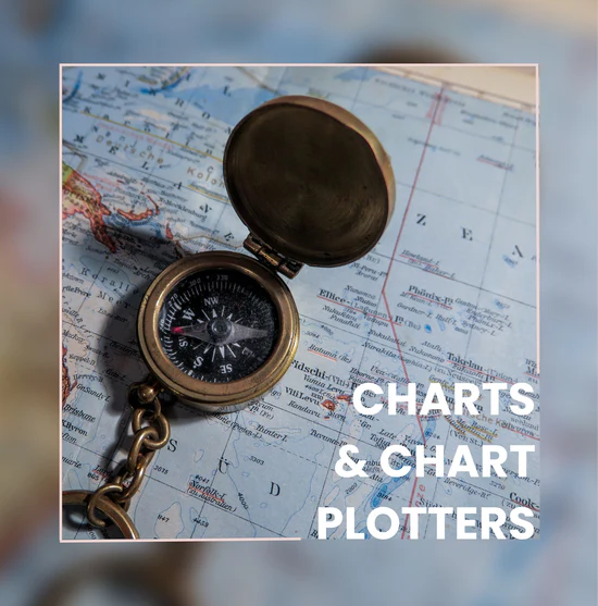
Charts & Chart Plotters
Are you ready to chart your next sailing adventure?
Join Captain Deb for this 3-part course that will show you how to accurately plot your course so you can safely reach your favorite destinations. This capability is so important while traveling by boat. This process of navigation will allow you to look closely at the route(s) that you may want to follow, considering the current, the weather conditions and how you can safely maneuver to your destination. Your chart plotter is an amazing tool, that allows you to see in the moment, your dashboard that gives you the details to confidently manage your passage.
When you arrive at a destination…
and you see reefs on either side of the entrance and 8-foot waves breaking on either side, is this your best option for entering?
Learn the best course of action, what do I do now?
Charts & Chart Plotters
This course is 3 evening sessions each 90 minutes- Confidently read and understand your charts and use your chart plotter while sailing/boating
- Latitudes & Longitudes
- Depth soundings
- Underwater topography
- Land physical characteristics
- Using a compass
- Currents and Tides
- Getting the correct chart for your trip
- Compass Rose – what is it, how to use it
- Calculating distance, measuring a course
- Finding your points on your chart (first point to second point)
- Navigator
- Begin testing your skills by being the navigator
- Learn how to use the Chart plotter
- GPS
- Manufacturers
- Modes/settings
- AIS receiving and what you see and how to use it
- Using other apps Navionics, Predict Wind, Windy
Plan a Safe & Enjoyable Voyage
Accurate plotting is the first step in a safer voyage. Let Captain Deb teach you how to read and use charts so that you can sail with confidence. Whether you’re a seasoned sailor or are just beginning to learn about the water, you will learn practical navigation skills that will allow you to take pride in your abilities as a mariner.

Enjoy the Peace of Mind that You’re in Control.
Being out on the open water with no landmarks can be very disorienting. Chartplotting will give you a way to accurately plot your position so you can rely on yourself rather than the GPS. You’ll learn how to read chart symbols and use information on charts to plan a course and safely navigate in coastal waters.
Course Details & Requirements
This course includes (3) 90-minute classes hosted virtually via Zoom. Enrollment fee: $149.95
Captain Deb has created links on Amazon.com to get you the correct tools for charting and the exact training chart that is used by the USCG. These tools are purchased separately.
Be sure that you can set your chart up on a large flat surface. Note: the Calipers do have sharp points so be sure to put padding under your chart so you do not damage the surface.

Avoid Costly Mistakes
If you are planning to take your USCG Captains Test, this is a great pre-course. Give yourself the time, the skills, so you are comfortable plotting and charting.
Required materials include:
- Recommend Weems & Plath – Dividers
- Parallel Ruler
- Mechanical pencil & eraser
- Yellow highlighter
- NOAA Chart 13205 Block Island Sound
***These Materials are not included in the enrollment fee.